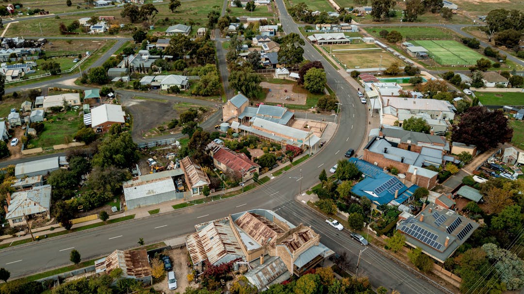
Zones and Overlays
Note: the information below provides a brief introduction to some zones and overlays. The summaries do not provide commentary on all planning permit requirements, such as those associated with the construction of buildings or the carrying out of works. Please refer to the Central Goldfields Planning Scheme for full information.
What is a zone?
All land is subject to a zone. The planning scheme zones land for particular uses. The zones are listed in the planning scheme and each zone has a purpose and set of requirements. This information describes if a planning permit is required and the matters that the council must consider before deciding to grant a permit.
What is the Township Zone (TZ)
A Township Zone typically applies to small towns with no specific structure of residential, commercial and industrial land uses. It is a flexible zone. For example, it allows for the use of the land for dwellings as-of-right (subject to meeting wastewater, potable water and electricity supply conditions). Subject to the grant of a planning permit, it allows for the use of the land for Industry (if not a use with adverse amenity potential) and Retail premises.
What is the Commercial 1 Zone (C1Z)?
The Commercial 1 zone (C1Z) seeks to support the creation of mixed use commercial centres for retail business, entertainment and community uses. The use of land for Retail premises and Shops is allowed as of right in the C1Z. The use of land for Dwellings generally requires a planning permit. This enables a Council to manage the establishment of dwellings in commercial areas, to ensure that sufficient land remains for shops etc, in the longer term.
What is the Neighbourhood Residential Zone (NRZ)?
The Neighbourhood Residential Zone is applied to areas that have been identified as having specific neighbourhood, heritage, environmental or landscape character values that distinguish the land from other parts of the municipality or surrounding area. The NRZ allows for the use of the land for a dwelling as of right (other than bed and breakfast). The use of the land for Industry (other than an automated collection point and car wash) and retail premises (other than a Convenience shop, food and drink premises, market and plant nursery) is prohibited in the NRZ. The NRZ does not currently apply anywhere within the Central Goldfields Shire.
What is the General Residential Zone (GRZ)?
The application of the General Residential Zone is considered appropriate for areas where a mix of dwelling types is envisaged, including detached houses, units and townhouses. Buildings of up to three storeys can be accommodated. The GRZ allows for a dwelling as of right (other than bed and breakfast). The use of the land for Industry (other than an automated collection point and car wash) and retail premises (other than a Convenience shop, food and drink premises, market and plant nursery) is prohibited in the GRZ. The GRZ currently applies to parts of Maryborough, Carisbrook and Dunolly.
What is the Farming Zone (FZ)?
The Farming Zone is primarily concerned with keeping land in agricultural production and avoiding land uses that could limit future farming or constrain agricultural activities. Generally, the further subdivision of land and construction of houses is discouraged, unless used for legitimate farming purposes.
What is the Rural Living Zone (RLZ)?
This zone provides for residential use in a rural environment. It is designed to cater for lots in a rural setting that are large enough to accommodate a dwelling and a farming use (generally 4 hectares). The farming use is likely to be carried on for reasons other than the need to provide a significant source of household income.
What is the Low Density Residential Zone (LDRZ)?
The Low Density Residential Zone (LDRZ) is suitable for areas on the fringe of urban settlements and townships with larger residential lots of 0.2ha if sewered or 0.4 ha if not sewered, to ensure lots are large enough to treat and retain wastewater, but small enough to be maintained without the need for agricultural techniques or equipment.
What is an Overlay?
The planning scheme map may show that a piece of land has an overlay as well as a zone affecting it. Not all land has an overlay. Some land may be affected by more than one overlay. If an overlay applies, the land will have some special feature such as a heritage building, significant vegetation or flood risk. The overlay information will indicate if a planning permit is required for the construction of a building or other change to the land. It will set out requirements for subdivision, and buildings and works that apply in addition to the requirements of the zone.
What is a Heritage Overlay (HO)?
A heritage overlay is a planning control that is applied to land (either an individual place or a precinct) where heritage significance has been identified. A planning permit is usually required to construct a building or to undertake works in a heritage overlay (including demolition).
What is a Development Plan Overlay (DPO)?
A Development Plan Overlay requires the preparation of a development plan before a permit can be granted to use or develop the land. A development plan describes the proposed use and development of each part of the land to which it applies. It may consist of plans or other documents and may, with the agreement of the responsible authority, be prepared and implemented in stages.
What is a Design and Development Overlay (DDO)?
A Design and Development Overlay identifies land that is affected by specific requirements relating to the design and built form of new developments.


